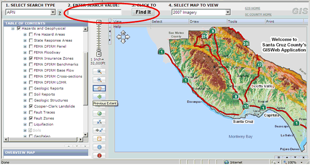
Geologic Hazard Maps
Many of the Geologic Hazards Maps are can be found through the County’s Geographic Information System (GIS). Following is a tutorial on how to use the GIS to turn on the maps.
Step 1: Click the GIS Link above, read the Disclaimer and click "Agree".
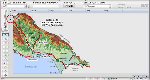
Step 2: Expand the "Table of Contents" by clicking the area circled in red below.
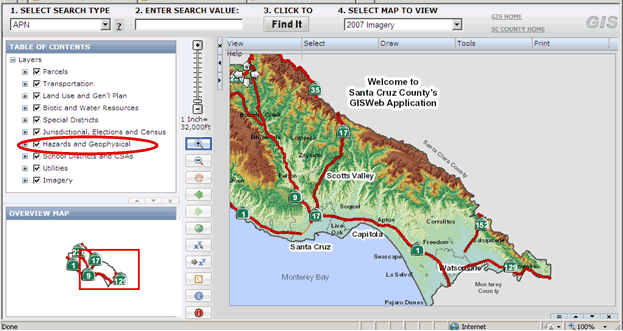
Step 3: Click on the + sign on "Hazards and Geophysical" as shown below.
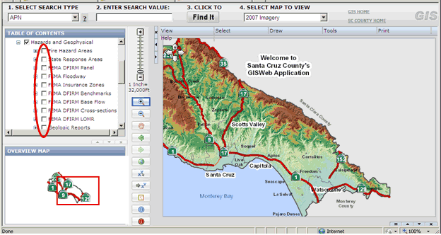
Step 4: Select the various map that you’d like to be displayed by clicking in the boxes.
Step 5: Enter your parcel number (APN) and click "Find It", or zoom to a specific location.